Through multiple guest blog series, our partners have helped us tell the story of the Rigdon Landscape Project!
We formed the Rigdon Collaboration Committee in 2016 to work with the Forest Service on the Rigdon Landscape Project. We facilitated learning sessions, field trips, and roundtable discussions. After education sessions concluded, the group transitioned to roundtable discussions. This allowed committee members provided feedback to the Forest Service Interdisciplinary Team for future actions.
About the Landscape
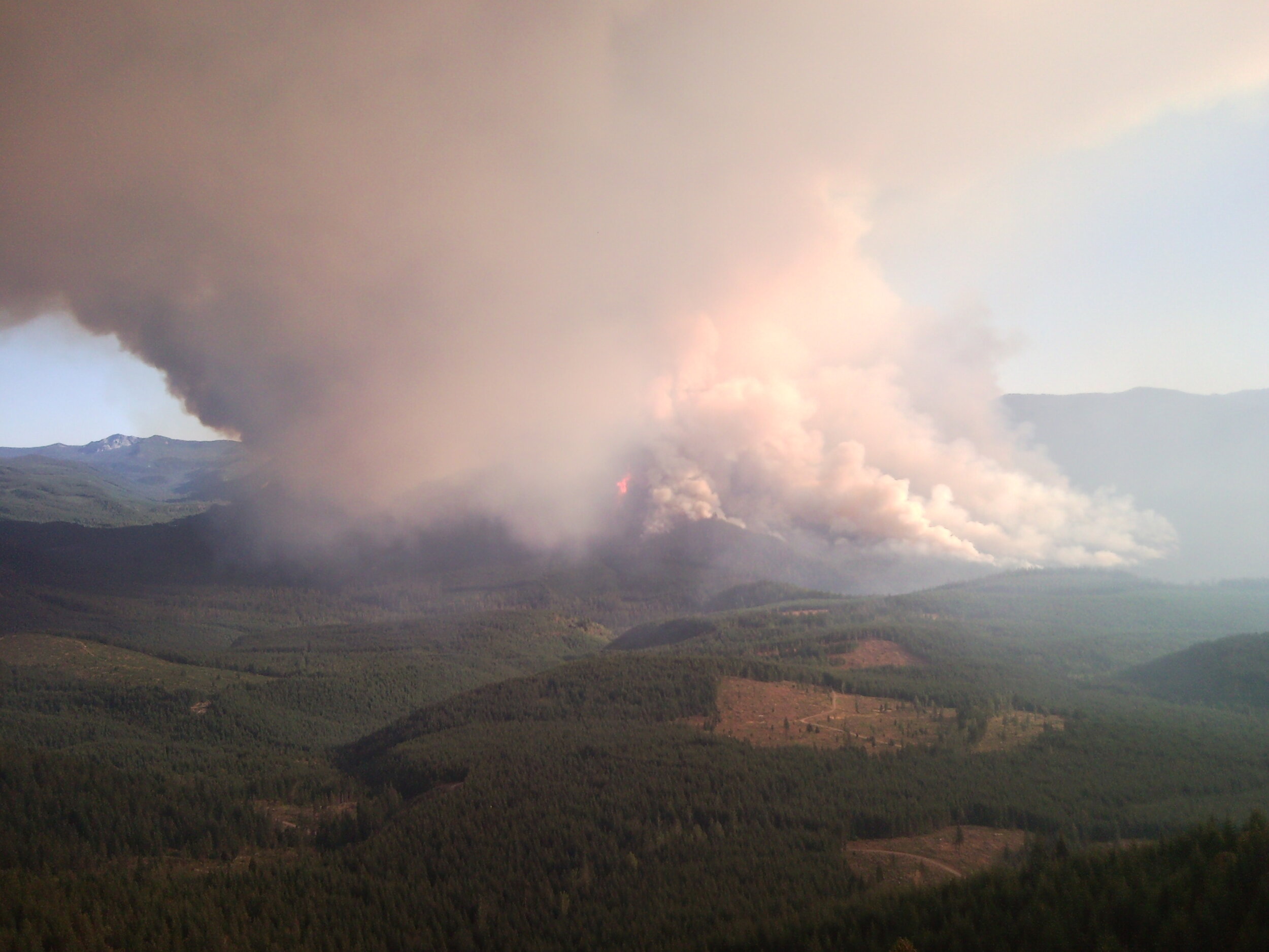
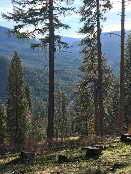
The Rigdon landscape encompasses four Middle Fork Willamette sub-watersheds south of Oakridge, Oregon. Over the years, climate and fire have maintained mixed conifer forests and scattered wet and dry meadows. This landscape provides habitat for spring chinook, bull trout, and the northern spotted owl. Historical native tribes occupied this area and prescribed low intensity fires every 5-10 years. Over the last 150 years fire suppression has created dense forests. As a result the landscape has become less resilient and prone to high intensity wildfires.