Guest Blogger: Kevin Tuers
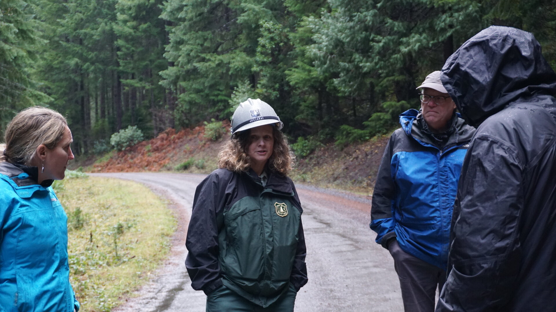
Southern Willamette Forest Collaborative Participation: I have been participating in the Southern Willamette Forest Collaborative since 2016. I was introduced to the SWFC by being on the Middle Fork Willamette Watershed Council Board of Directors.
Envisioning a Healthy Rigdon Landscape
A healthy Rigdon Landscape has a variety of habitats that is suited for all species of plants and animals and resilient to catastrophic fires. This healthy landscape would have the variety and diversity that can be enjoyed by all.
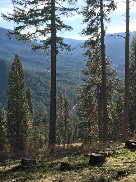
The Rigdon landscape encompasses four Middle Fork Willamette sub-watersheds south of Oakridge, Oregon. Click the map to the right to enlarge.

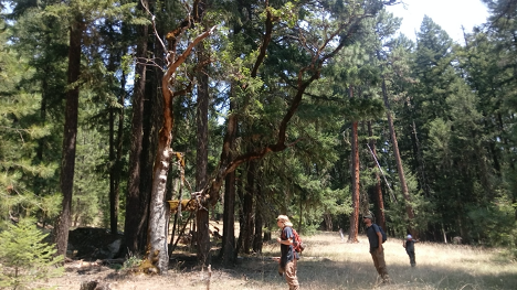
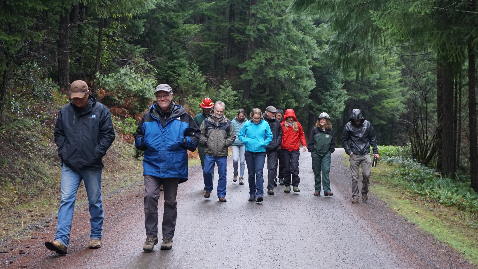
Visiting the Rigdon Landscape
I started recreating on the Rigdon landscape in 1988 when I was 13 years old camping and deer hunting, this was the year I shot my first buck. You can see Diamond Peak in the Background.
I have continued to recreate for the past 32 years in the area almost every fall. In 2006 I landed a job with Seneca Jones Timber Company based out of Eugene Oregon. Seneca owns 21,400 Acres within the Upper Middle Fork Willamette Watershed and many of these acres are located within the Rigdon Landscape. I am the GIS/Inventory Forester and have the pleasure of spending much of my work time in this area.
Changes Throughout the Years
The landscape has definitely changed since 1988, with the change in the forest practices by the USFS, Catastrophic fires and lack of fire presence in certain areas. These changes have led to some less than ideal habitat conditions for a variety of species.
Favorite Memory
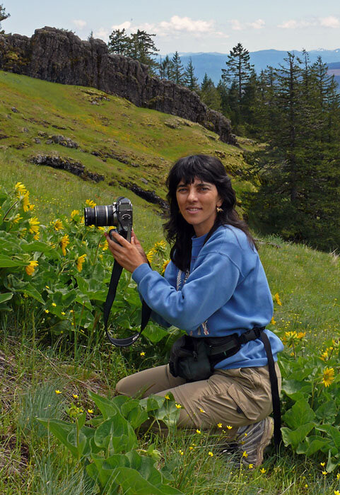
I have many great memories of this area, but one of my favorites is taking my children huckleberry picking in the fall for the first time and watching them enjoy the fruits of nature!

Favorite Areas

Bear Ridge has always been one of my favorite areas in the Rigdon Landscape, it has a variety of different habitats as it extends down from Diamond Peak.
Restoration Opportunities
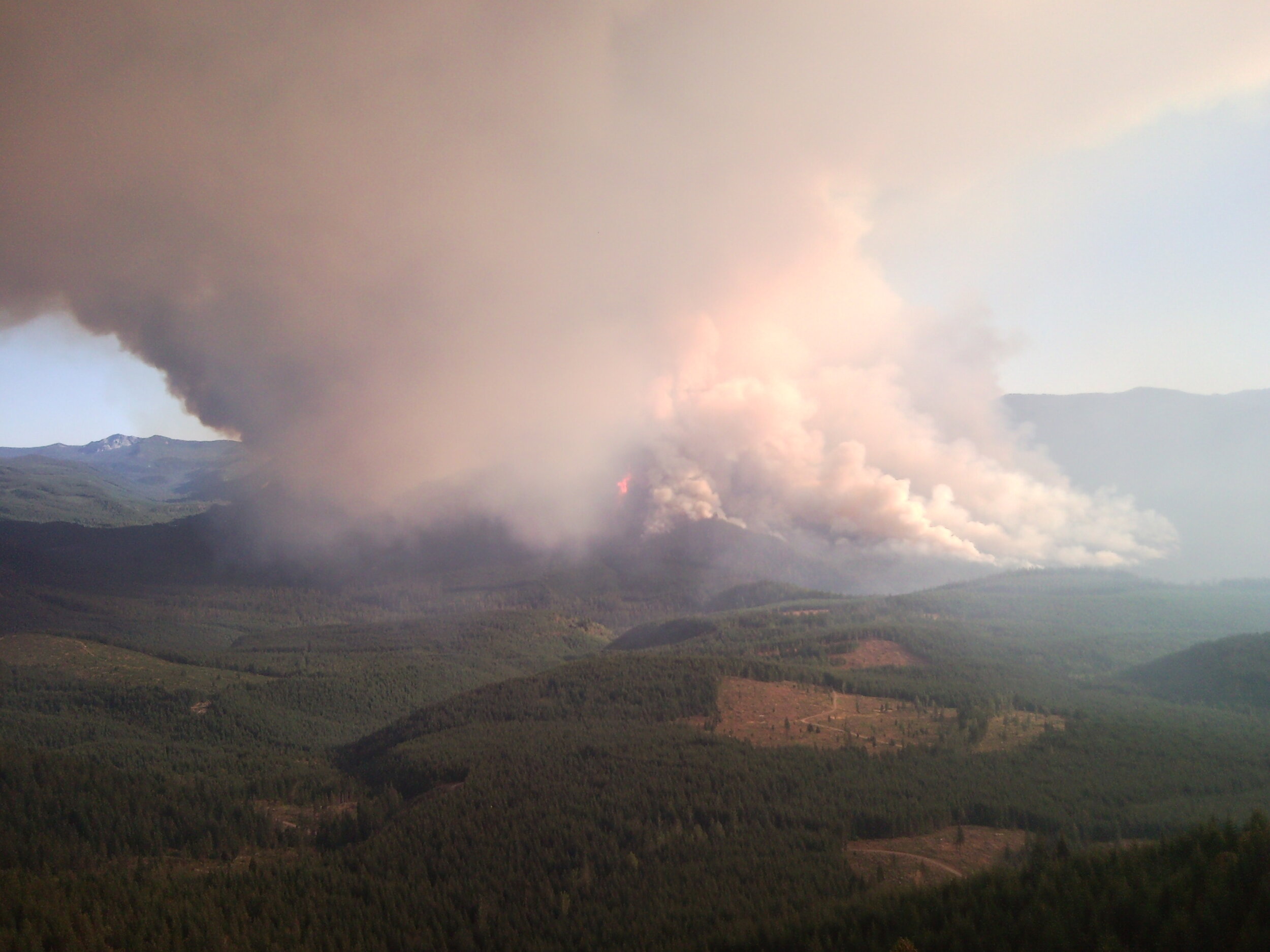
I am most excited about the fuels reduction program on the landscape and reducing the risk of catastrophic wildfire. I was on the Tumblebug Fire in 2009 and watched how it devastated thousands of acres in minutes.
Final Thoughts
I work and recreate in the Rigdon Landscape and have viewpoints from a variety of positions. Growing trees for today and the future is our goal and is an investment we wish to protect. This also creates a distributions of habitats on our lands within the landscape while providing jobs and economic benefits for the local communities. As a recreationalist in this area I look forward to the habitat and landscape projects that will help diversify and help this landscape flourish.

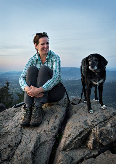
Kevin his Daughter Aiden and pal Keta (Oncorhynchus keta) Dog Salmon