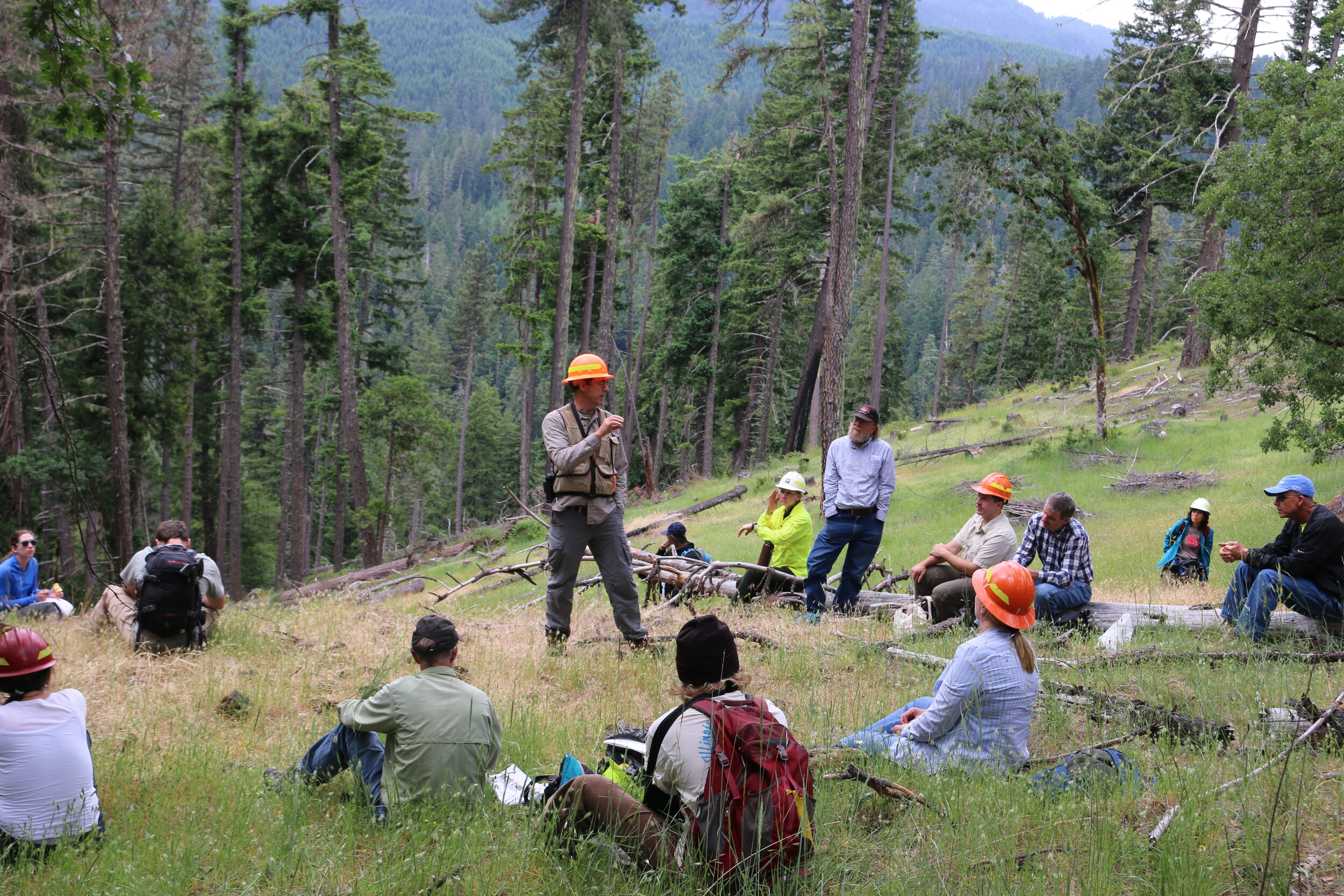
Take a Self-Guided Field Trip of Youngs Rock Rigdon
Updated December 15, 2020
The Willamette National Forest’s Middle Fork Ranger District (MFRD) and the Southern Willamette Forest Collaborative (SWFC) have worked together for four years to develop the Rigdon Landscape Analysis and conduct environmental analysis for an area southeast of Oakridge, Oregon. Fire suppression has dramatically changed the composition of the landscape. The project provides a critical opportunity to move the landscape towards more historical conditions that supported dry mixed conifer forests, diverse indigenous floral understories, Oregon white oak, ponderosa pine, ungulates, monarch butterflies, bull trout, and salmon habitats.
In 2016, the Forest Service interdisciplinary team (IDT) started an in-depth process to assess the ecological systems and identify landscape objectives to create proposed actions. The SWFC Rigdon Collaboration Committee (RCC) - which includes members from the local communities, watershed council, timber industry, recreation and special interest groups, and state and local agencies - formed to engage in the pre-planning process.
National Forest Foundation Community Capacity and Landscape Stewardship Program funding helped the RCC host shared learning opportunities, field trips, and roundtable discussions between the IDT and committee members. The collaborative committee developed landscape-level zones of agreement for the Forest Service to consider in drafting the Rigdon Landscape Analysis and future proposed management actions.
Developing a more thorough understanding of the area’s fire history has led to more informed and complete plans for restoration and monitoring. Funding from the Oregon Department of Forestry and Good Neighbor project revenue enabled SWFC to engage researchers from Oregon State University (OSU) and the University of Oregon (UO).
Bart Johnson, from the UO School of Architecture, is conducting post-implementation monitoring of a 600-acre pilot project to promote Oregon white oak savanna through thinning, reseeding, and subsequent prescribed fire treatments. James Johnston, from the OSU dendrochronology lab, analyzed the fire frequency on the Rigdon Landscape over the past 400+ years, revealing that some areas burned as frequently as every four years while higher elevation stands often went hundreds of years without burning. These findings have helped partners and the agency better understand how to implement restoration activities that lead to a more fire-resilient landscape.
The first Rigdon Landscape project, Youngs Rock Rigdon (YRR), is an environmental impact statement scheduled for a record of decision in 2021. Implementing YRR restoration activities with Stewardship and Good Neighbor Authority tools will create a more resilient landscape as climate conditions change, help ensure more restoration within treatment areas over time, and support the local economy.
The SWFC created a suite of resources to encourage participation in the Rigdon project, including a self-guided field trip of the area using the free Avenza app. You can download the field trip packet, maps, and field trip layer here.
The SWFC also worked with the Forest Service to create a Rigdon StoryMap providing in-depth context about the history and value of the landscape and details about restoration plans, and a video of key stakeholders sharing their perspectives on the project (coming soon). The SWFC highlighted perspectives ranging from timber workers to environmental advocates in a blog series earlier this year.
July 16, 2020
If you haven't had a chance to make it to a public field trip or just want to investigate the project area at your own pace, you can now take a self-guided field trip using the Avenza app. This tool allows you to learn about the proposed actions related to aquatics, vegetation, wildlife, and human uses for the first project within the larger Rigdon landscape. The app includes geo-located stops, descriptions, and images from the Forest Service and SWFC. Instructions for both Android and iOS are available in the handout below.
Taking a self-guided field trip to the area is a great way to learn about the Youngs Rock Rigdon project scope and plans for restoration. The project's initial public comment phase just wrapped up with a second anticipated in the fall as part of the NEPA process, so this summer is an ideal time to visit the site. Getting to the project area involves a 50-minute drive southeast of Oakridge on Forest Service Road 21.
If you have questions about using Avenza or the field trip files, please contact Sarah Altemus-Pope at director@swfcollaborative.org


