Field Trip

Take a Self-Guided Field Trip of Youngs Rock Rigdon

Take a Self-Guided Field Trip of Youngs Rock Rigdon

Updated December 15, 2020

IMG_5403 (1).JPG

The Willamette National Forest’s Middle Fork Ranger District (MFRD) and the Southern Willamette Forest Collaborative (SWFC) have worked together for four years to develop the Rigdon Landscape Analysis and conduct environmental analysis for an area southeast of Oakridge, Oregon. Fire suppression has dramatically changed the composition of the landscape. The project provides a critical opportunity to move the landscape towards more historical conditions that supported dry mixed conifer forests, diverse indigenous floral understories, Oregon white oak, ponderosa pine, ungulates, monarch butterflies, bull trout, and salmon habitats.

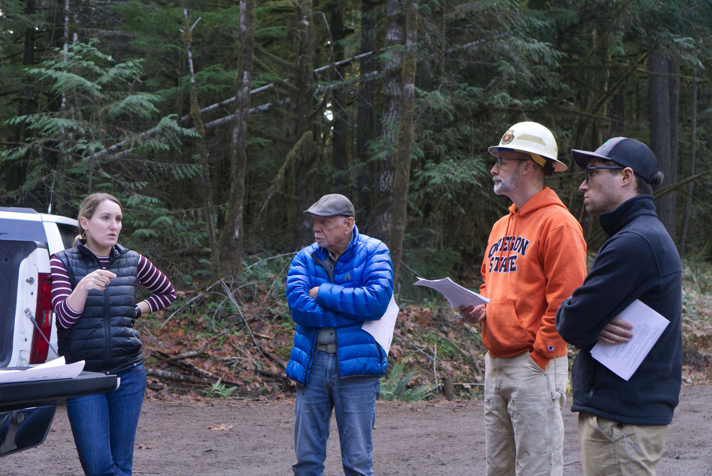
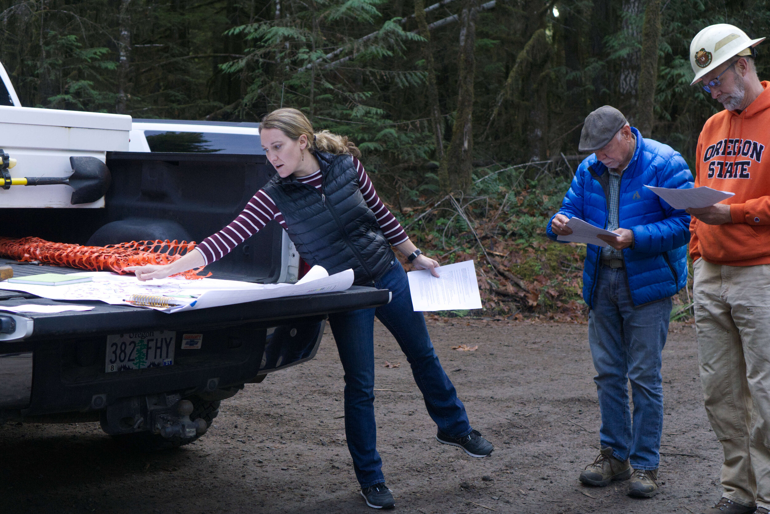
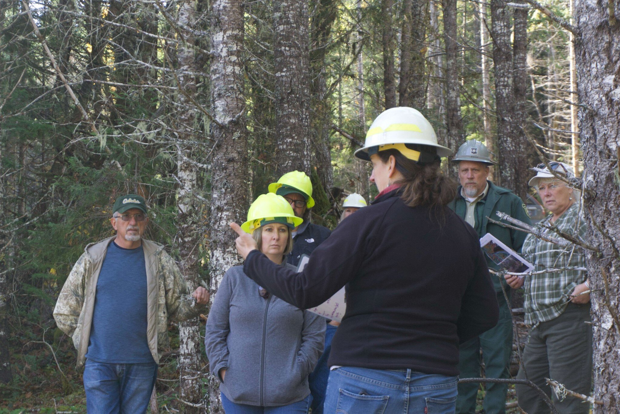
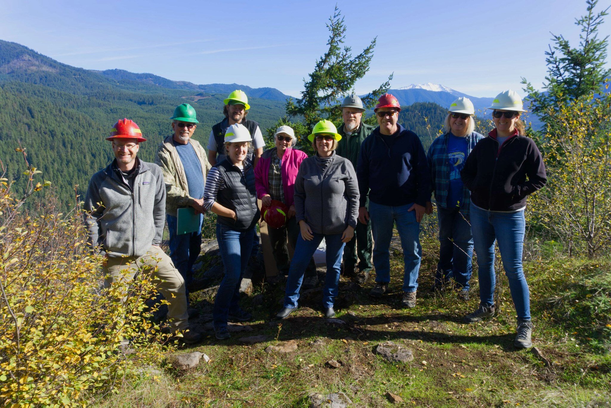
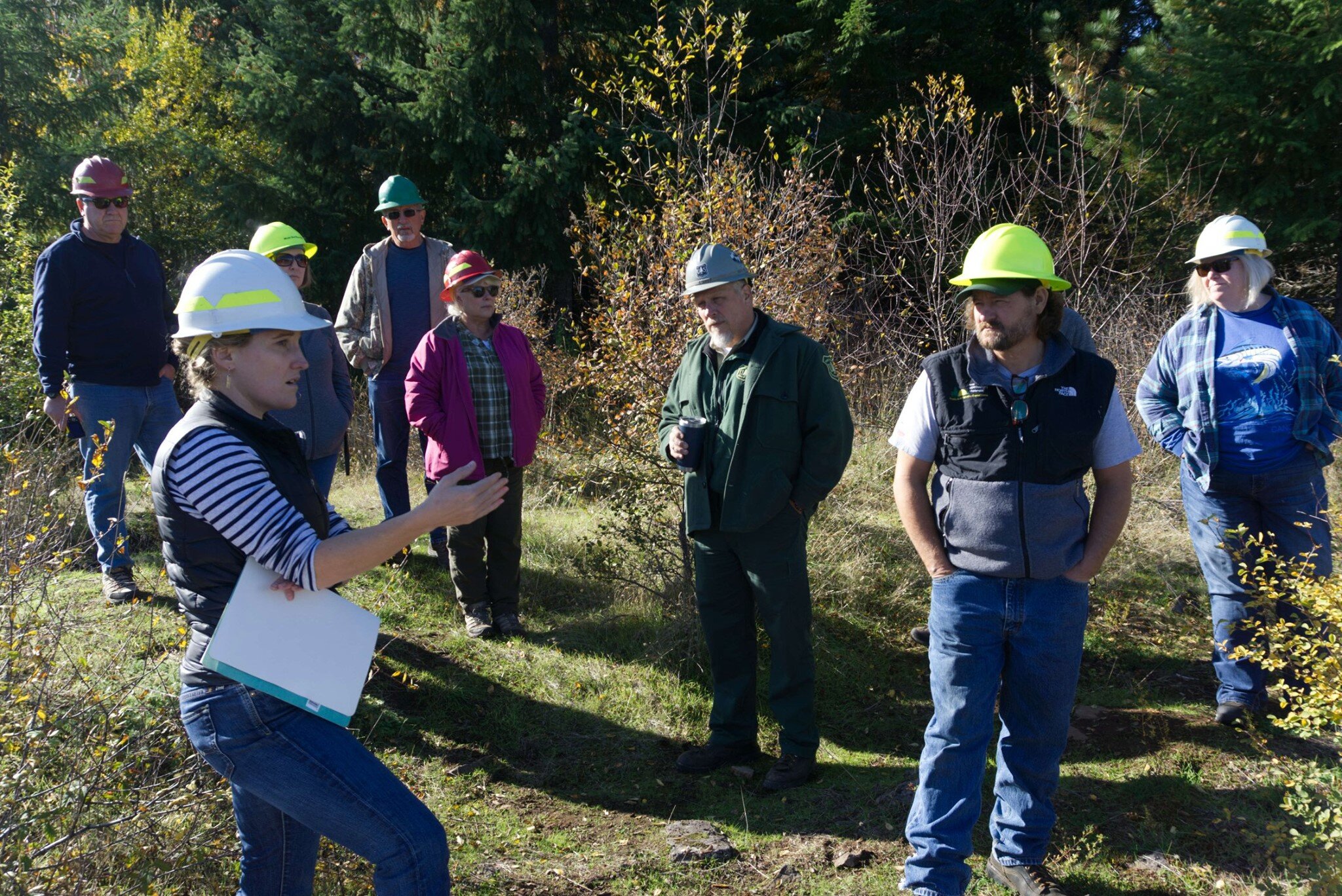
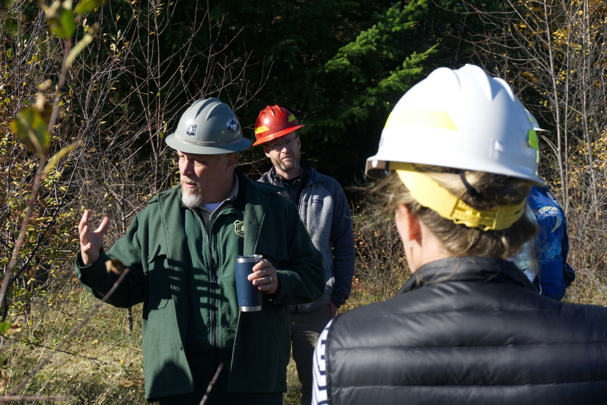
In 2016, the Forest Service interdisciplinary team (IDT) started an in-depth process to assess the ecological systems and identify landscape objectives to create proposed actions. The SWFC Rigdon Collaboration Committee (RCC) - which includes members from the local communities, watershed council, timber industry, recreation and special interest groups, and state and local agencies - formed to engage in the pre-planning process.

National Forest Foundation Community Capacity and Landscape Stewardship Program funding helped the RCC host shared learning opportunities, field trips, and roundtable discussions between the IDT and committee members. The collaborative committee developed landscape-level zones of agreement for the Forest Service to consider in drafting the Rigdon Landscape Analysis and future proposed management actions.

Developing a more thorough understanding of the area’s fire history has led to more informed and complete plans for restoration and monitoring. Funding from the Oregon Department of Forestry and Good Neighbor project revenue enabled SWFC to engage researchers from Oregon State University (OSU) and the University of Oregon (UO). 

IMG_5365.jpg

Bart Johnson, from the UO School of Architecture, is conducting post-implementation monitoring of a 600-acre pilot project to promote Oregon white oak savanna through thinning, reseeding, and subsequent prescribed fire treatments. James Johnston, from the OSU dendrochronology lab, analyzed the fire frequency on the Rigdon Landscape over the past 400+ years, revealing that some areas burned as frequently as every four years while higher elevation stands often went hundreds of years without burning. These findings have helped partners and the agency better understand how to implement restoration activities that lead to a more fire-resilient landscape.

IMG_5367.JPG

The first Rigdon Landscape project, Youngs Rock Rigdon (YRR), is an environmental impact statement scheduled for a record of decision in 2021. Implementing YRR restoration activities with Stewardship and Good Neighbor Authority tools will create a more resilient landscape as climate conditions change, help ensure more restoration within treatment areas over time, and support the local economy. 

The SWFC created a suite of resources to encourage participation in the Rigdon project, including a self-guided field trip of the area using the free Avenza app. You can download the field trip packet, maps, and field trip layer here.

The SWFC also worked with the Forest Service to create a Rigdon StoryMap providing in-depth context about the history and value of the landscape and details about restoration plans, and a video of key stakeholders sharing their perspectives on the project (coming soon). The SWFC highlighted perspectives ranging from timber workers to environmental advocates in a blog series earlier this year.


IMG_5215.jpg

July 16, 2020

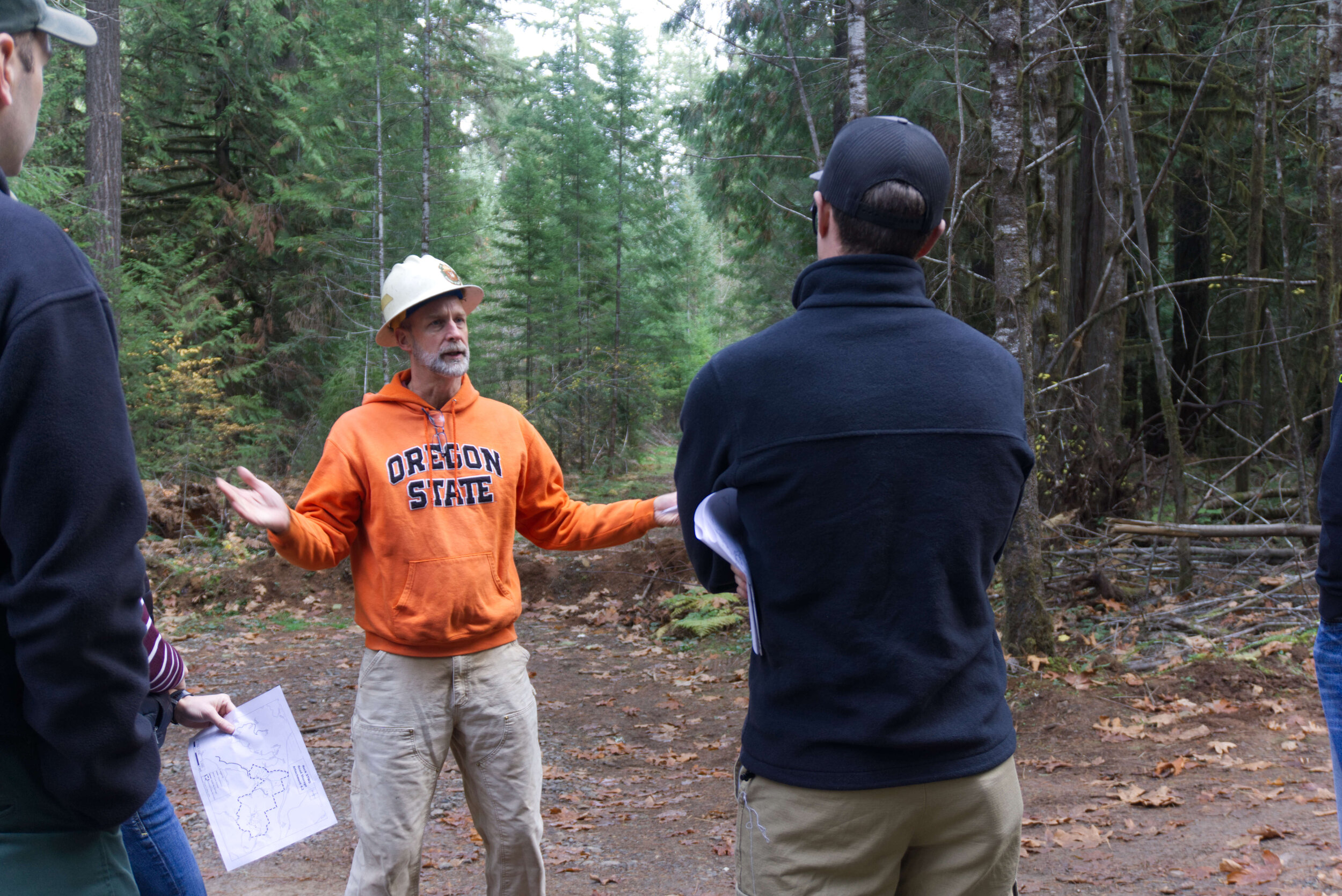
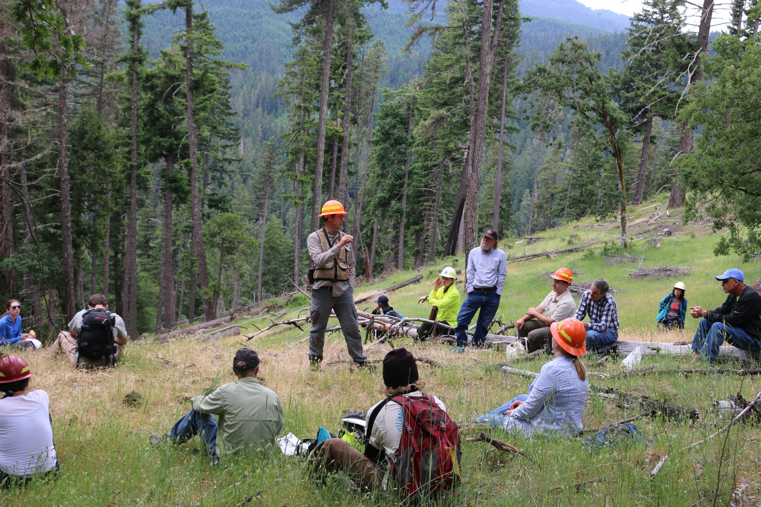
If you haven't had a chance to make it to a public field trip or just want to investigate the project area at your own pace, you can now take a self-guided field trip using the Avenza app. This tool allows you to learn about the proposed actions related to aquatics, vegetation, wildlife, and human uses for the first project within the larger Rigdon landscape. The app includes geo-located stops, descriptions, and images from the Forest Service and SWFC. Instructions for both Android and iOS are available in the handout below.

Taking a self-guided field trip to the area is a great way to learn about the Youngs Rock Rigdon project scope and plans for restoration. The project's initial public comment phase just wrapped up with a second anticipated in the fall as part of the NEPA process, so this summer is an ideal time to visit the site. Getting to the project area involves a 50-minute drive southeast of Oakridge on Forest Service Road 21.

If you have questions about using Avenza or the field trip files, please contact Sarah Altemus-Pope at director@swfcollaborative.org

Field Trip Revisiting Rock Stewardship Sale

Members of the Implementation Advisory Committee revisited the Rock Stewardship Sale area today. The group reviewed recommendations and looked at the work that took place over the last year. Projects completed: thinning, weed abatement, and road closures. The group is still waiting for retained receipts to come back to the forest, at which point the group will discuss project priorities for allocating the funds.

Collaborative recommendations for imbedded projects included:

  • Weed Abatement - $3,750

  • Road Storage - $15,310

  • Fall and Leave - $4,375

Elected Officials Field Tour: Caring About the Land and Rural Economies

Yesterday four elected officials and the Oakridge City Administrator joined the Southern Willamette Forest Collaborative and Partners on a field tour of the Youngs Rock Rigdon Landscape Project. Attendees included:


Lane County Commissioner - Heather Buch

State Representative - Cedric Hayden

Oakridge Mayor - Kathy Holston

Lowell Mayor - Don Bennett

Oakridge City Administrator - Bryan Cutchen


These elected officials walked the land with partners to better understand the work that’s being done on the ground to care for our public lands, while also learning about the tools and authorities we use to prioritize local workforce in rural East Lane County. 


As a result of the tour, elected officials and agency partners gained insight into how the Willamette National Forest is working with local communities and collaborative groups to positively influence federal forest planning and on-the-ground treatments. The tour highlighted proposed actions of the Youngs Rock Rigdon project and identified investments and future opportunities created by the Oregon Legislature’s Federal Forest Restoration Program administered by the Department of Forestry. Participants engaged local collaborative group leaders and US Forest Service staff regarding the important role that the State has taken to support collaborative efforts to increase forest health treatments on National Forests, while also supporting local economies. 


Tour Route Overview:


  1. At the first field tour stop, we visited an overlook of the Youngs Rock Rigdon landscape to discuss the existing conditions on the ground, effects of a century of fire suppression, desired future conditions, and the proposed restoration treatments.

  2. The second field stop, we visited the Staley Creek floodplain restoration project implemented by the Middle Fork Willamette Watershed Council. This stage zero floodplain restoration project was made possible with funding from the State lottery dollars through the Oregon Watershed Enhancement Board, the Western Trout Initiative, and the Forest.   

  3. The third field stop, we visited two proposed treatment units that boarder Seneca private timberlands. Visiting a natural stand, we discussed the effects of fire suppression and encroachment and proposed thinning treatments to restore the mixed conifer forest. While also discussing fuels reduction treatments in managed stands near Seneca lands.

  4. The tour concluded with a visit to the 600 acre Jim’s Creek pilot project that restored Oregon white oak savanna, meadows, and old growth pine stands. We discussed the importance of native plants, maintenance burning for forest resilience and the State’s continued role in partnership with the US Forest Service to increase the pace and scale of restoration through Good Neighbor Authority and stewardship contracting projects.

Themes:

  • Collaboration is building common ground among diverse interests and serving as a springboard for accelerated forest restoration.

  • The ecological and economic benefits of stewardship contracting and good neighbor authority projects through forest restoration treatments.

  • The multiplier effect of state investments in federal forest projects.

Objectives:

  • Understand and recognize the opportunities to increase the pace and scale of forest restoration.

  • See first-hand how the Youngs Rock Rigdon EIS project will increase forest resilience.

  • Discuss the make-up, role and function of the Southern Willamette Forest Collaborative; and the common ground that these diverse interests – including forest industry, conservation and local government leaders – are advancing to achieve simultaneous social, economic and environmental outcomes. 


More About the Project


Southern Willamette Forest Collaborative (SWFC) members have been working on the Rigdon Landscape Project since 2016 by learning,

discussing, and providing input to the Middle Fork Ranger District. As a team, alongside the Forest Service we developed the Rigdon Landscape Analysis.


The Rigdon Landscape Analysis will inform future projects and environmental action plans in order to restore ecological functions of the 104,000 acre landscape. Projects will be implemented over the next 5-10-years. The first NEPA project, Youngs Rock Rigdon, will guide management actions within 26,000 acres north of the Middle Fork Willamette River.